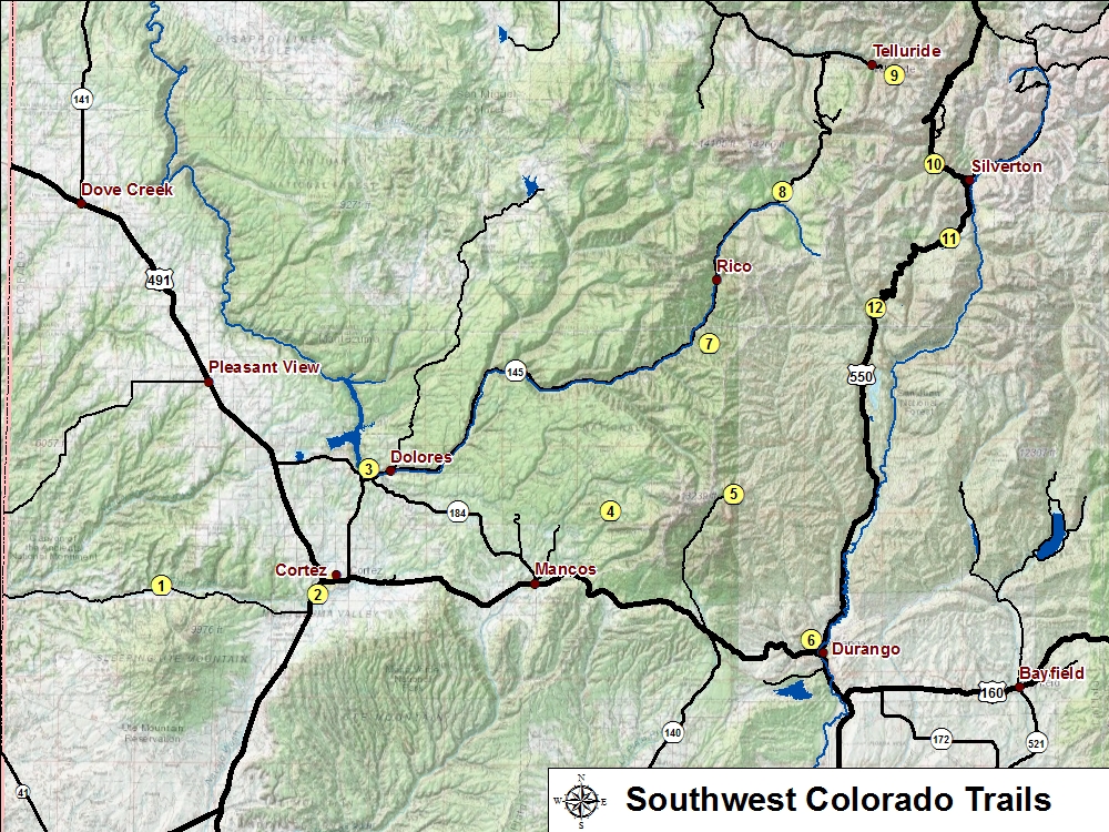
Located approximately midway between Durnago and Silverton, CO along U.S. Highway 550 are numerous trails accessible off of the highway. Many of the trails are moderate to difficult and may require 4x4, high clearence vehicles to access certain trail heads. Many of the trails have slendid views of alpine lakes and panaoramic views of the various mountains and peaks.
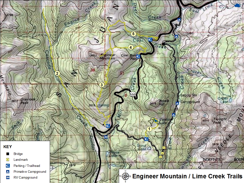
NOTE: All the Engineer Mountain Trail heads are accessible off of U.S. Hwy 550. However, Potato Lake Trail Heads requires driving on Lime Creek Road (FS #591). The road is not maintained and very rugged so 4x4 wheel drive and high clearance is highly recommended. To drive Lime Creek Road in its entirety requires some skill and nerves of steel as there are several areas with vertical drop-offs and no guard rails.