Ojo Caliente Trails

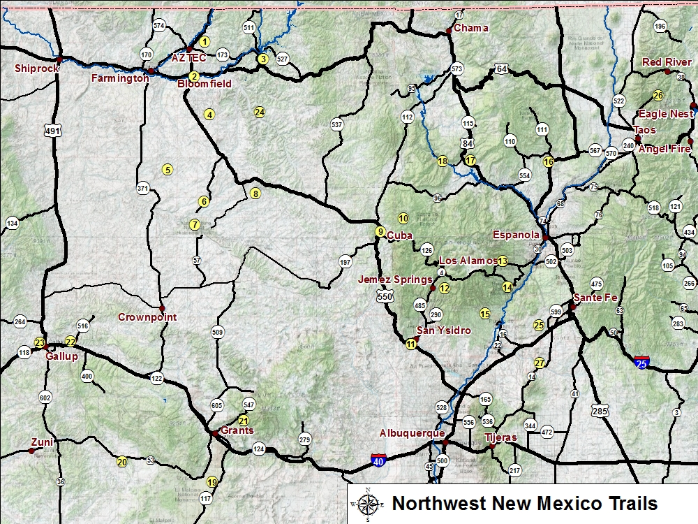
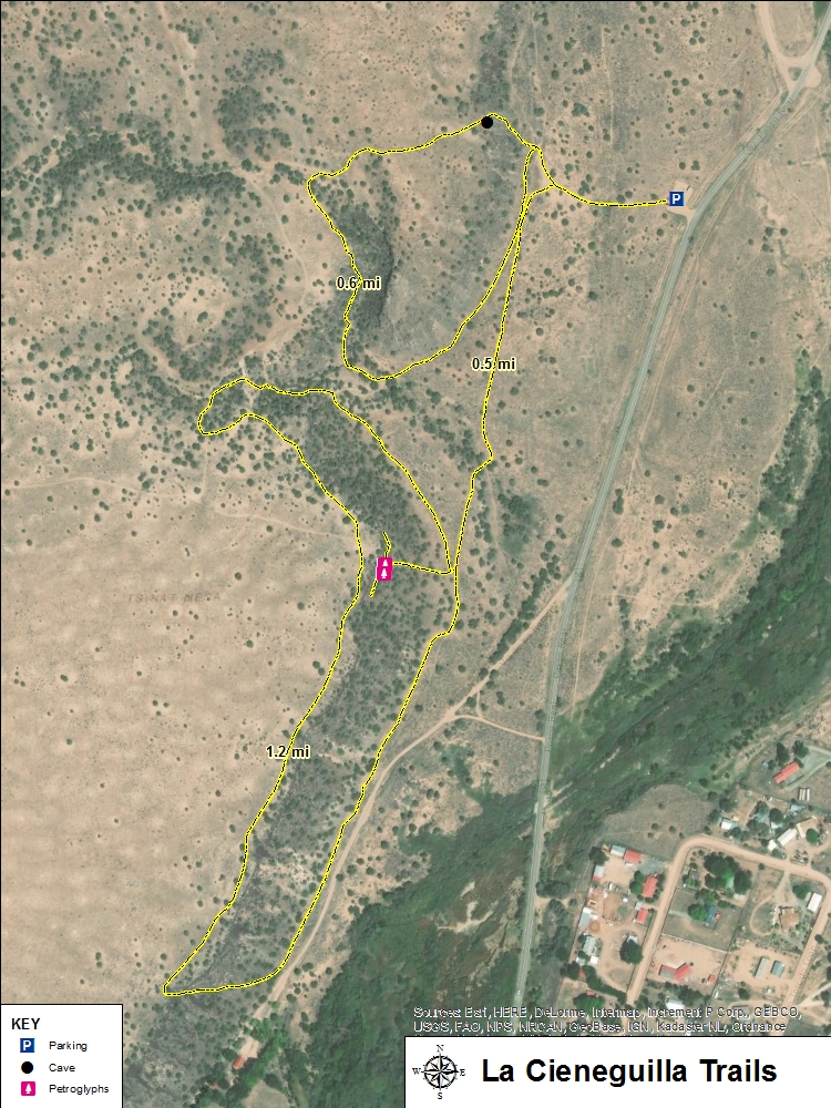
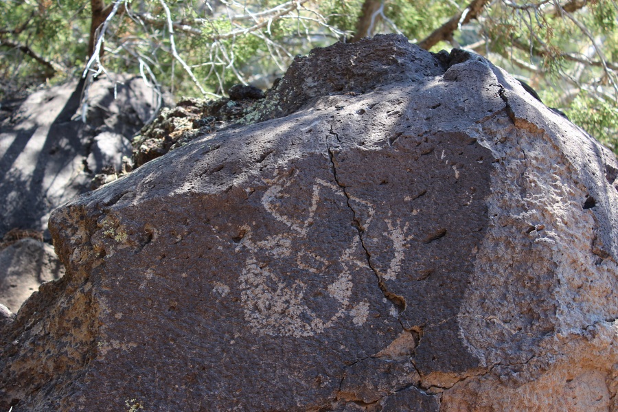
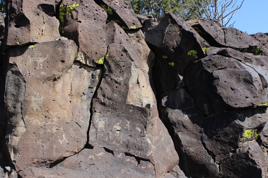
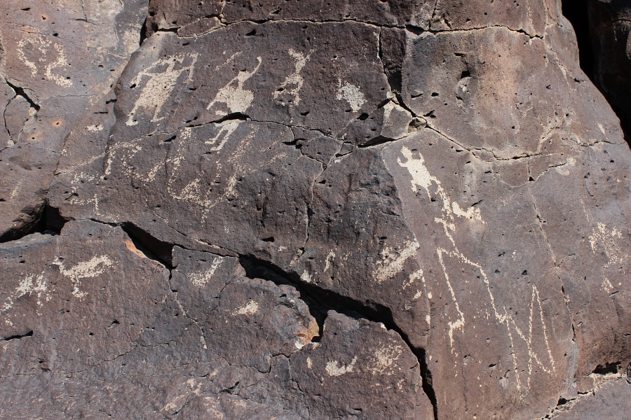
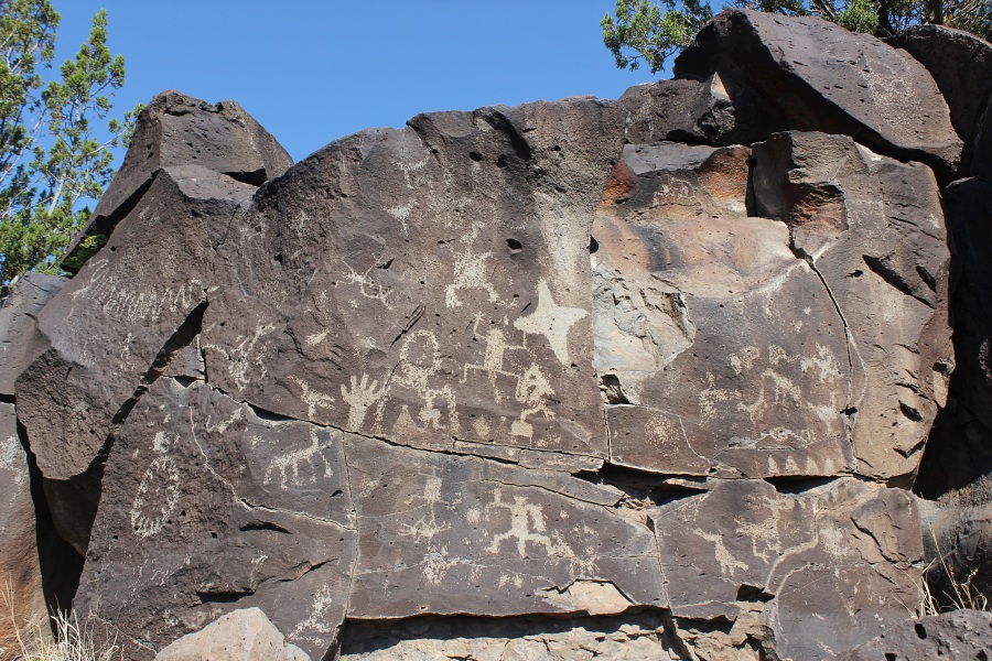
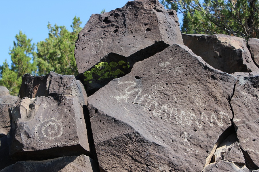
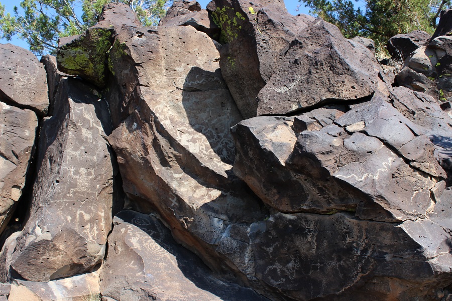
Located southwest of Santa Fe along Paseo Real Road, these trails are located on Bureau of Land Management public lands. Hundreds of petroglyphs, dating from pre-contact time and the Spanish colonial era, can be found along this mesa above the Santa Fe River. Most of the petroglyphs were placed there by Keresan-speaking puebloan people living in the area between the 13th and 17th centuries. The area is best known for the frequency of hump-backed flute player images and a variety of bird figures. The site is also of interest to those tracing the route of El Camino Real de Tierra Adentro, the ancient road which passed along here.
Trail Name Difficulty Distance Elev. Gain
1. Petroglyph Trail Easy 1.0 mi / 1.5 km 120 ft
2. North Mesa Loop Moderate 0.6 mi / 1.0 km 120 ft
3. South Mesa Loop Moderate 1.2 mi / 1.9 km 210 ft
La Cieneguilla Petroglyphs
La Cieneguilla Petroglyphs Trails Map and Info (PDF 897 KB)

La Cieneguilla Petroglyph
La Cieneguilla Petroglyph.
La Cieneguilla Petroglyphs
La Cieneguilla Petroglyphs: Panel 1.
La Cieneguilla Petroglyphs
La Cieneguilla Petroglyphs: Panel 1.
La Cieneguilla Petroglyphs
La Cieneguilla Petroglyphs: Panel 2.
La Cieneguilla Petroglyphs
La Cieneguilla Petroglyphs.
La Cieneguilla Petroglyphs
La Cieneguilla Petroglyphs.

Photos by EMKotyk