New Mexico Attractions
Attractions
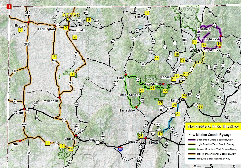
➠ Abiquiu (#15)
Google Map 148 miles
➠ Albuquerque Museums
Google Map 178 miles
➠ Aztec Museum & Pioneer Village
Inside the City of Aztec On Main Ave (U.S. 550)
➠ Angel Fire Vietnam Veterans Memorial (#14)
Google Map 220 miles
➠ Angel Peak Recreation Area (#4)
Google Map 27 miles
➠ Aztec Ruins National Monument
Inside the City of Aztec, 0.5 miles on Ruins Road
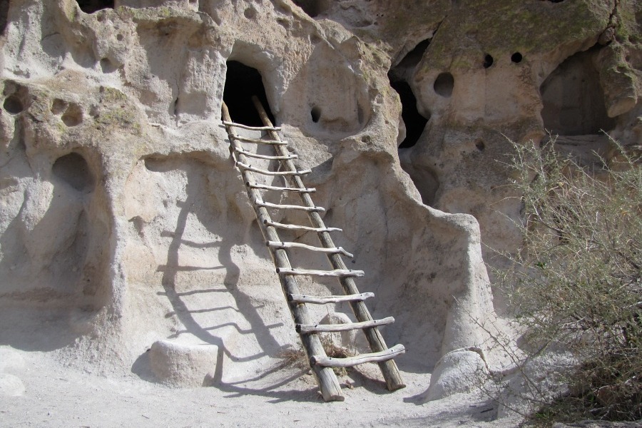
➠ Bandelier National Monument (#22)
Google Map198 miles
➠ Bisti/De-Na-Zin Wilderness (#6)
Google Map 70 miles
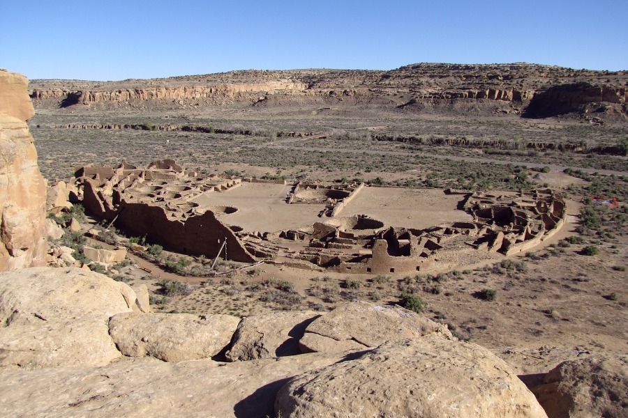
➠ Chaco Culture National Historical Park (#7)
Google Map 80 miles
➠ Chimayo (#18)
Google Map 178 miles
➠ Classical Gas Museum (#17)
Google Map 182 miles
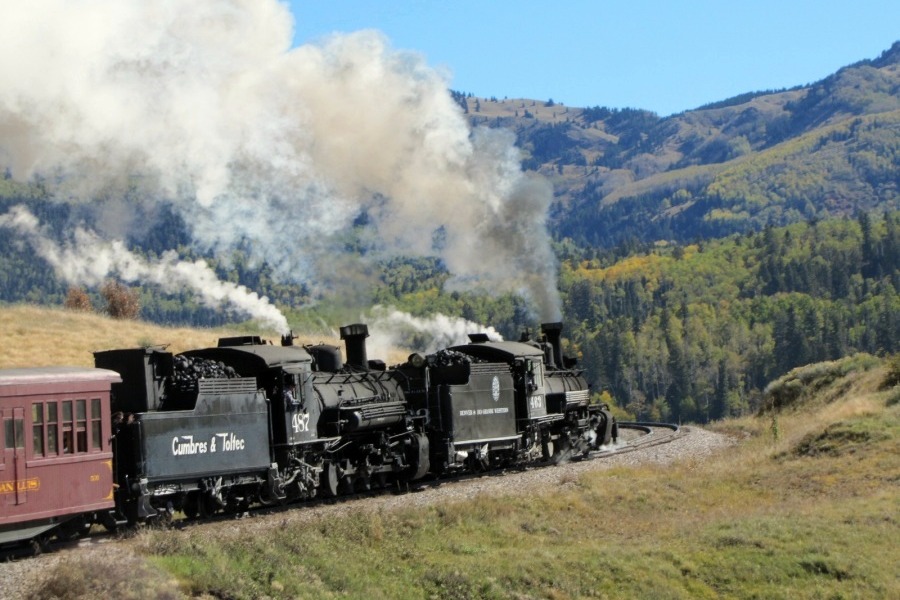
➠ Cumbres & Toltec Scenic Railroad (#11)
Google Map 106 miles
➠ El Malpais National Monument (#10)
Google Map 179 miles
➠ El Morro National Monument (#8)
Google Map 192 miles
➠ El Rancho de las Golondrinas (#29)
Google Map 192 miles
➠ Española
Google Map 170 miles
➠ Four Corners Monument (#1)
Google Map 76 miles
➠ Georgia O'Keeffe's Black Place (Lybrook Badlands)
Google Map 65 miles
➠ Ghost Ranch (#15)
Google Map 147 miles
➠ Ice Cave and Bandera Volcano (#9)
Google Map 175 miles
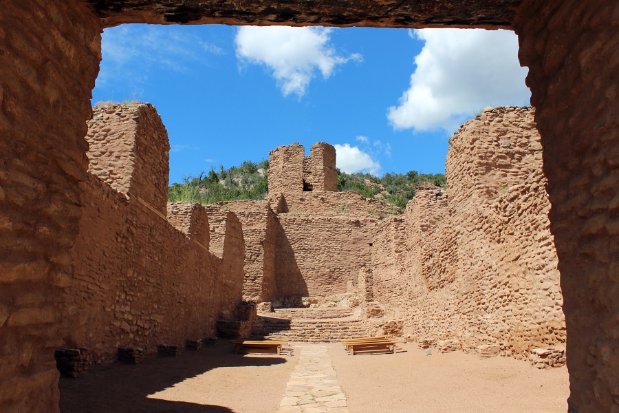
➠ Jemez Springs (#20)
Google Map 155 miles
➠ Kasha-Katuwe Tent Rocks National Monument (#23)
Google Map 196 miles
➠ Los Alamos (#22)
Google Map 188 miles
➠ Navajo Lake State Park & Quality Waters (#6)
Google Map 27 miles
➠ Ojo Caliente (#16)
Google Map 179 miles
➠ Origami in the Garden (#26)
Google Map 200 miles
➠ Pecos National Historical Park (#25)
Google Map 229 miles
➠ Petroglyph National Monument (#28)
Google Map 174 miles
➠ Puye Cliff Dwellings (#19)
Google Map 207 miles
➠ Rio Grande del Norte National Monument (#12)
Google Map 186 miles
➠ Salmon Ruins Museum (#3)
Google Map 11 miles
➠ Santa Fe (#24)
Google Map 195 miles
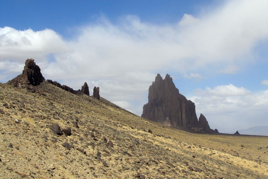
➠ Shiprock Pinnacle (#2)
Google Map 50 miles
➠ Taos / Taos Pueblo (#13)
Google Map 209 miles
➠ Tinkertown Museum (#27)
Google Map 199 miles
➠ Valles Caldera National Preserve (#21)
Google Map 155 miles
Scenic Byways
(85 mile highway loop)
(67 mile highway drive)
(147 mile highway loop)
(481 mile highway loop plus 110 miles off-loop)
(65 mile highway drive)
(PDF 244 KB)
(PDF 2.3 MB)
Old Spanish National Historic Trail
The Old Spanish National Historic Trail known as the "longest, crookedest, most arduous pack mule route in the history of America" runs through New Mexico, Colorado, Arizona, Utah, Nevada and California.
Hiking Trails


New Mexico is a great destination for the hiking enthusiast due to the vast public lands. Within the Northwest region of New Mexico, are numerous trails for the beginners to the experts where many plaves have established trails while other areas such as BLM wilderness are open range.
Horse Riding Trails
Little known in our region are the numerous equestrian trails that have been around for many years and some that are recently developed. For the horse enthusiast, visit our inventory of horse riding trails brought to you by Region 3 of the North American Trail Ride Conference (NATRC).➠ Northwest New Mexico (San Juan County)
Mountain Bike Trails

New Mexico is becoming a leader in mountain biking destinations. Within the Northwest region of New Mexico, are numerous trails for the beginners to the experts.
Water Recreation
Within Northwest New Mexico there are a variety of lakes and reservoirs to fulfill the water enthusiast, everything from tranquil mountain lakes, to the hidden little fishing hole, and water sport addict.
Download Other Maps
| Abiquiu Area | ⇩ Print PDF | |
| Angel Peak Recreation Area | ⇩ Print PDF | ⇩ GPX file |
| Bandelier National Monument | ⇩ Print PDF | ⇩ GPX file |
| Bisti/De-na-Zin Wilderness | ⇩ Print PDF | ⇩ GPX file |
| Chaco Culture National Historical Park | ⇩ Print PDF | ⇩ GPX file |
| Chimayo Area | ⇩ Print PDF | |
| Cumbres & Toltec Scenic Railroad | ⇩ GPX file | |
| El Malpais National Monument | ⇩ Print PDF | ⇩ GPX file |
| El Morro National Monument | ⇩ Print PDF | ⇩ GPX file |
| Enchanted Circle Scenic Byway | ⇩ Print PDF | |
| High Road to Taos Scenic Byway | ⇩ Print PDF | |
| Jemez Mountain Trail Scenic Byway | ⇩ Print PDF | |
| Jemez Springs | ⇩ Print PDF | ⇩ GPX file |
| Kash-Katuwe Tent Rocks National Monument | ||
| Ojo Caliente | ⇩ Print PDF | |
| Petroglyph National Monument | ⇩ Print PDF | ⇩ GPX file |
| Trail of the Ancients Scenic Byway | ⇩ Print PDF | |
| Turquoise Trail Scenic Byway | ⇩ Print PDF |

