Dinetah Archaeology
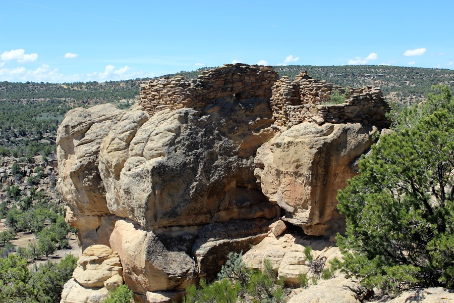
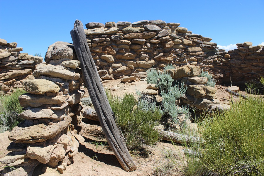
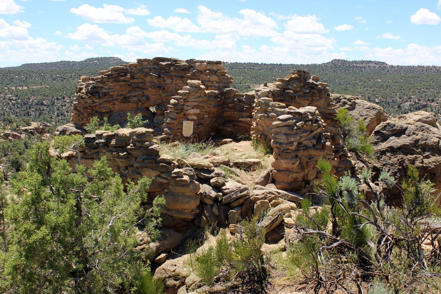
Adolfo Canyon Pueblito
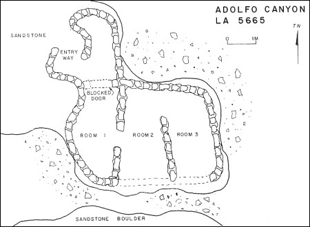
Ceramic Assemblage: Dinetah Gray and Gobernador Polychrome wares have been documented at the site. A single sherd of Puname (Zia Pueblo) Polychrome was also documented (Towner 1997).
Tree-ring Analysis: Seven samples were collected from the site. Five samples from three hogans, one from a sweatlodge, and one from the masonry pueblito. Wood species identified included pinyon and juniper. Results of the tree-ring analysis suggests that the pueblito was occupied after 1747 and the hogans were likely contemporaneous with the pueblito (Towner 1997).
| Land Owner: | Bureau of Land Management |
| Site Elevation: | 6660 ft / 2030 m |
| Hiking Difficulty: | Easy =
Someone in fair hiking condition; Distance less than 1,000 feet; Elevation gain less than 50 feet. |
| References: | |
 |
Powers, Margaret A. and Byron P. Johnson 1987
Defensive Sites of Dinetah. New Mexico Bureau of Land Management Cultural Resources Series No. 2, 1987. U.S. Dept of the Interior, Bureau of Land Management, Albuquerque District. |
 |
Towner, Ronald H. 1997
The Dendrochronology of the Navajo Pueblitos of Dinetah, PhD dissertation, University of Arizona. |
More Information
Other Pueblitos
| ➠ Return to Archaeology Page |
Report Vandalism
Report any vandalism to the Bureau of Land Management hot line at (505) 564-7600.For in progress incidents, request a BLM Ranger through Non-Emergency Dispatch (505) 334-6622.