Dinetah Archaeology
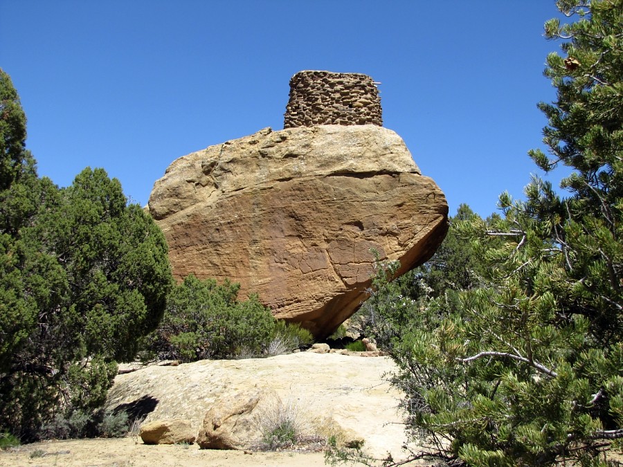
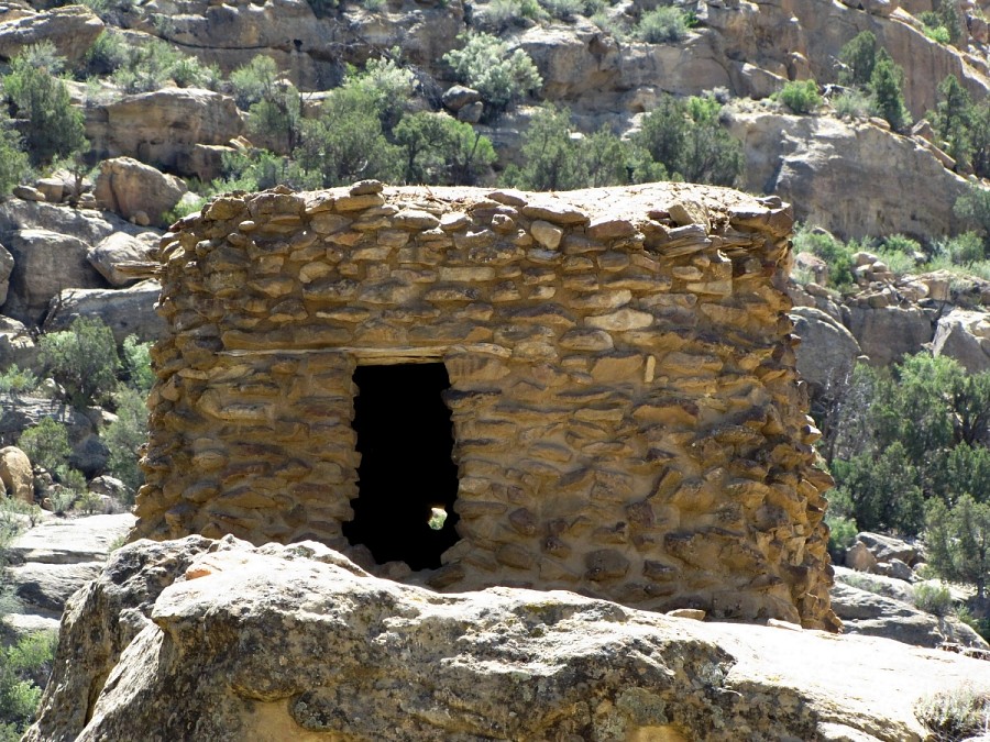
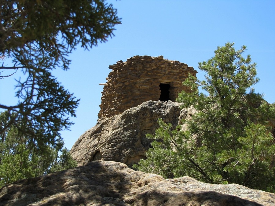
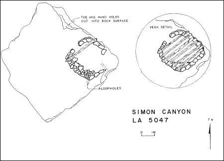
Simon Canyon Pueblito
Ceramic Assemblage: Currently only Dinetah Gray and Gobernador Polychrome ceramics have been documented.
Tree-Ring Analysis: Only seven samples have been collected from the pueblito. It appears that the roof was entirely constructed using juniper wood and metal ax cuts were noted on the ends and branches of the timber. Tree-ring dates indicate that the structure was likely constructed in 1754 (Towner 2003). The site was stabilized by the BLM in 1975 (BLM site plaque).
| Land Owner: | Bureau of Land Management |
| Site Elevation: | 5895 ft / 1797 m |
| Hiking Difficulty: | Challenging =
Someone in good hiking condition; Distance more than 1 mile; Elevation gain 50 to 100 feet. |
| References: | |
 |
Powers, Margaret A. and Byron P. Johnson 1987
Defensive Sites of Dinetah. New Mexico Bureau of Land Management Cultural Resources Series No. 2, 1987. U.S. Dept of the Interior, Bureau of Land Management, Albuquerque District. |
 |
Towner, Ronald H. 2003
Defending the Dinetah: Pueblitos in the Ancestral Navajo Heartland. The University of Utah Press, Salt Lake City, Utah. |
More Information
Other Pueblitos
| ➠ Return to Archaeology Page |
Report Vandalism
Report any vandalism to the Bureau of Land Management hot line at (505) 564-7600.For in progress incidents, request a BLM Ranger through Non-Emergency Dispatch (505) 334-6622.