Dinetah Archaeology
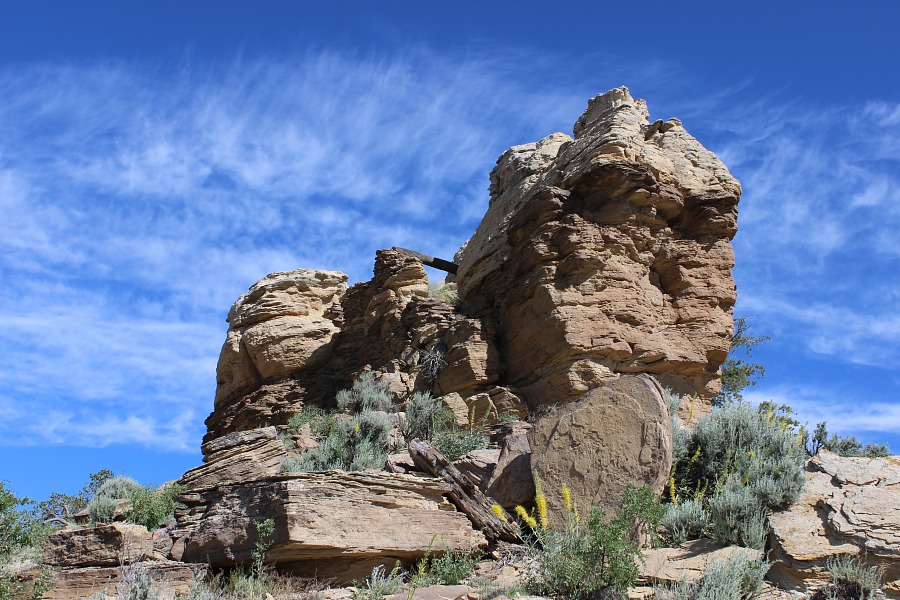
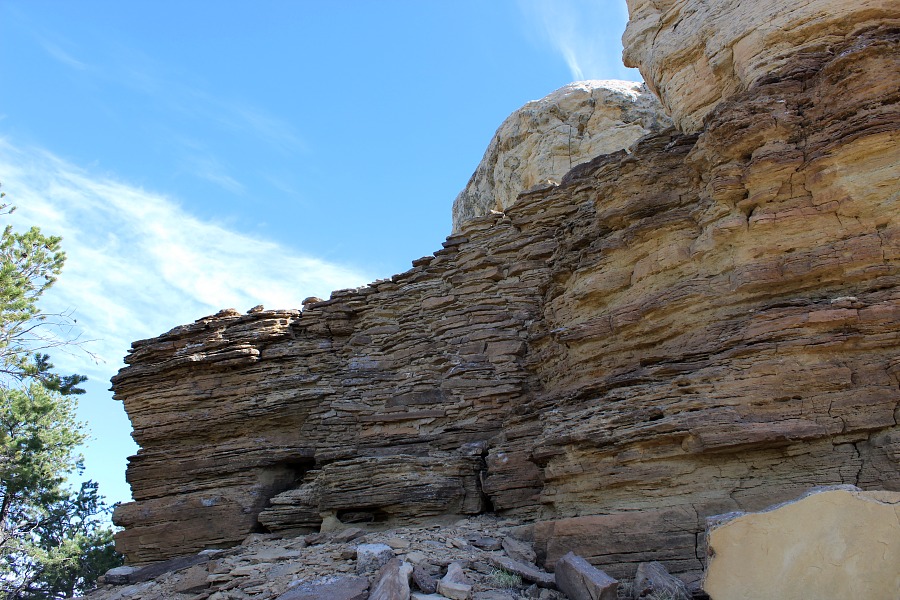
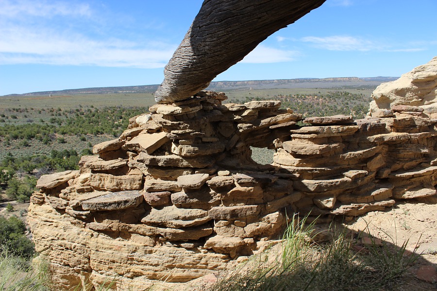
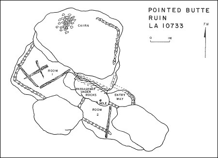
Pointed Butte Pueblito
Ceramic Assemblage: Ceramics identified included Dinetah Gray, Gobernador Polychrome, Tewa Polychrome, and Hopi, Acoma, and Zuni wares (Towner 1997).
Tree-ring Analysis: Twenty-two tree-ring samples have been collected from the site. Wood species identified included pinyon and Douglas-fir. Metal ax use was noted on all the samples. Despite the number of samples collected, cutting dates were few and samples did not cluster. It is clear that the pueblito post dates 1713, but any definitive date is problematic (Towner 1997).
| Land Owner: | Bureau of Land Management |
| Site Elevation: | 6940 ft / 2115 m |
| Hiking Difficulty: | Challenging =
Someone in good hiking condition; Distance less than 1/2 mile; Elevation gain about 100 feet. |
| References: | |
 |
Powers, Margaret A. and Byron P. Johnson 1987
Defensive Sites of Dinetah. New Mexico Bureau of Land Management Cultural Resources Series No. 2, 1987. U.S. Dept of the Interior, Bureau of Land Management, Albuquerque District. |
 |
Towner, Ronald H. 1997
The Dendrochronology of the Navajo Pueblitos of Dinetah, PhD dissertation, University of Arizona. |
More Information
Other Pueblitos
| ➠ Return to Archaeology Page |
Report Vandalism
Report any vandalism to the Bureau of Land Management hot line at (505) 564-7600.For in progress incidents, request a BLM Ranger through Non-Emergency Dispatch (505) 334-6622.