Dinetah Archaeology
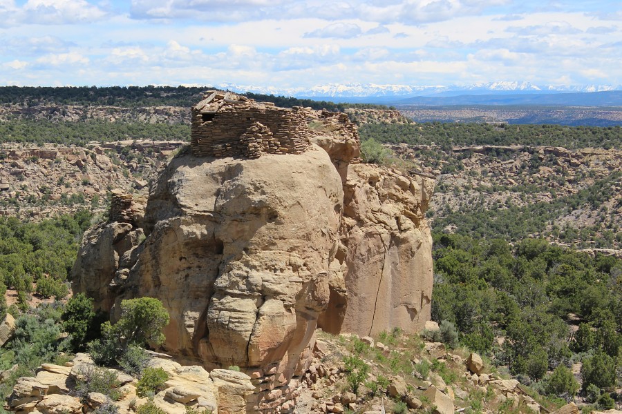
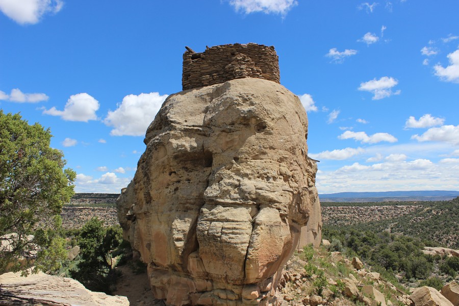
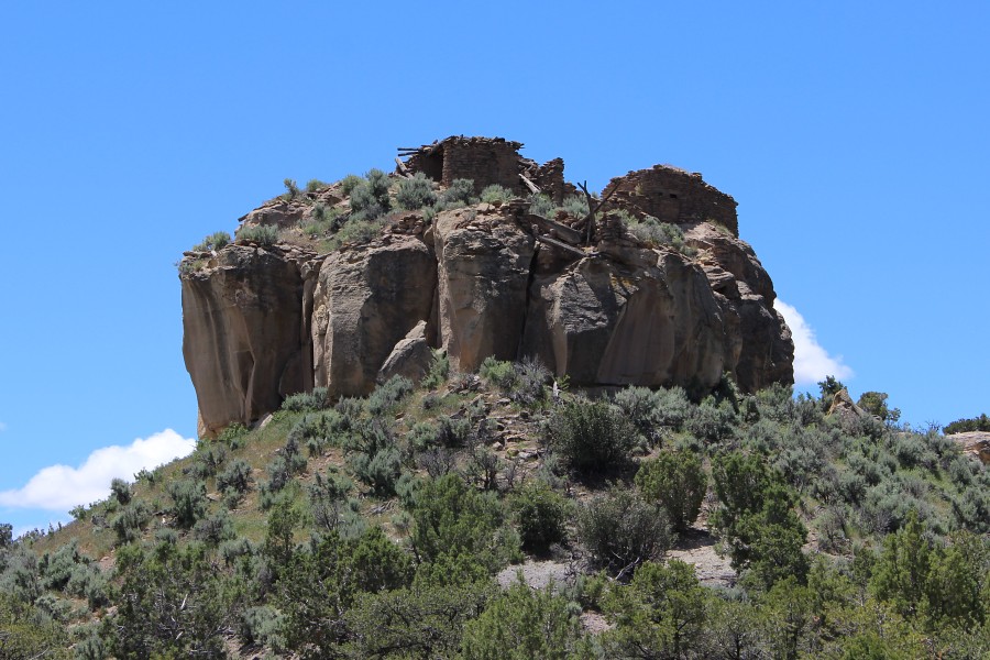
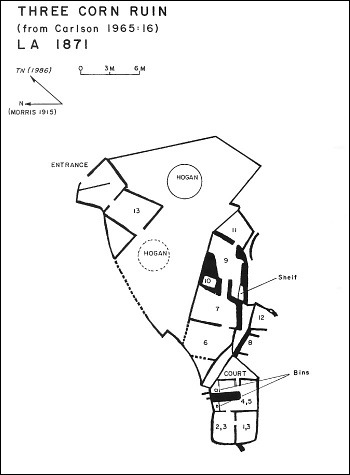
Three Corn Pueblito
Ceramic Assemblage: Ceramics identified from the site include Dinetah Gray, Gobernador, Ashiwi (Zuni Pueblo), Puname (Zia Pueblo), and Puyapki (Hopi) polychromes, and other Rio Grande wares (Towner 2003). Unusual and rare, Chinese porcelain was also recovered.
Tree Ring Analysis: Some 74 tree-ring samples have been collected from Three Corn Pueblito. Species of juniper, pinyon and Ponderosa Pine are present within the samples. The tree-ring results suggest the pueblito underwent two episodes of construction. The first episode in 1710 and the second episode in the late 1720s and early 1730s. Abandonment of the site likely occurred a short time after 1737 (Towner 2003).
| Land Owner: | State of New Mexico
➠ Create an Account for Recreational Access Form |
| Site Elevation: | 6774 ft / 2064 m |
| Hiking Difficulty: | Moderate =
Someone in good hiking condition; Distance about 500 ft; Elevation gain less than 50 feet. |
| References: | |
 |
Powers, Margaret A. and Byron P. Johnson 1987
Defensive Sites of Dinetah. New Mexico Bureau of Land Management Cultural Resources Series No. 2, 1987. U.S. Dept of the Interior, Bureau of Land Management, Albuquerque District. |
 |
Towner, Ronald H. 2003
Defending the Dinetah: Pueblitos in the Ancestral Navajo Heartland. The University of Utah Press, Salt Lake City, Utah. |
More Information
Other Pueblitos
| ➠ Return to Archaeology Page |
Report Vandalism
Report any vandalism to the State Land Office at (505) 326-5716.