Dinetah Archaeology
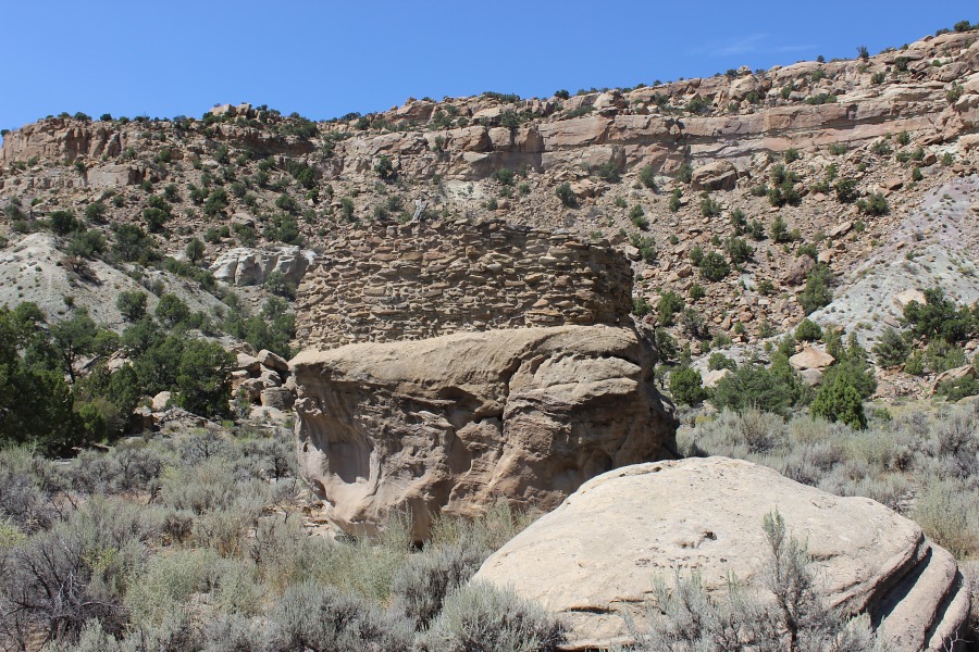
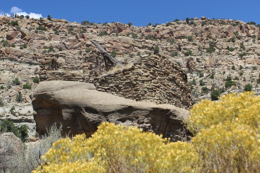
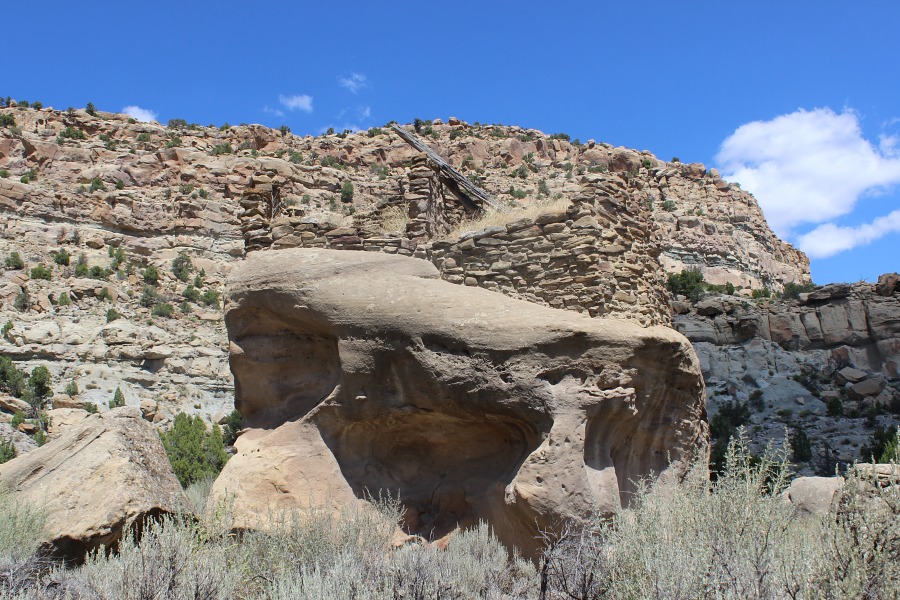
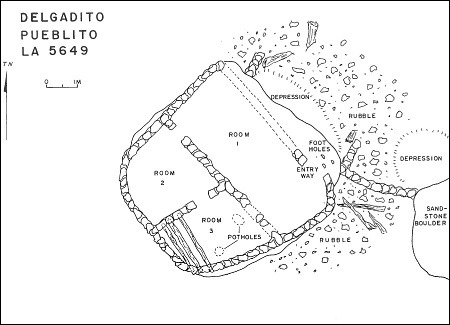
Delgadito Pueblito
Ceramic Assemblage: Only Dinetah Gray ceramics have been documented at the site (Towner 1997).
Tree-ring Analysis: Six tree-ring samples have been collected from the site. Wood species included juniper and pinyon and metal ax use was observed on all the samples. Results from the tree-ring samples suggest that the pueblito was built sometime after 1717 (Towner 1997).
| Land Owner: | Bureau of Land Management |
| Site Elevation: | 6207 ft / 1892 m |
| Hiking Difficulty: | Moderate =
Someone in good hiking condition; Distance less than 1,500 feet; Elevation gain less than 50 feet. |
| References: | |
 |
Powers, Margaret A. and Byron P. Johnson 1987
Defensive Sites of Dinetah. New Mexico Bureau of Land Management Cultural Resources Series No. 2, 1987. U.S. Dept of the Interior, Bureau of Land Management, Albuquerque District. |
 |
Towner, Ronald H. 1997
The Dendrochronology of the Navajo Pueblitos of Dinetah, PhD dissertation, University of Arizona. |
More Information
Other Pueblitos
| ➠ Return to Archaeology Page |
Report Vandalism
Report any vandalism to the Bureau of Land Management hot line at (505) 564-7600.For in progress incidents, request a BLM Ranger through Non-Emergency Dispatch (505) 334-6622.